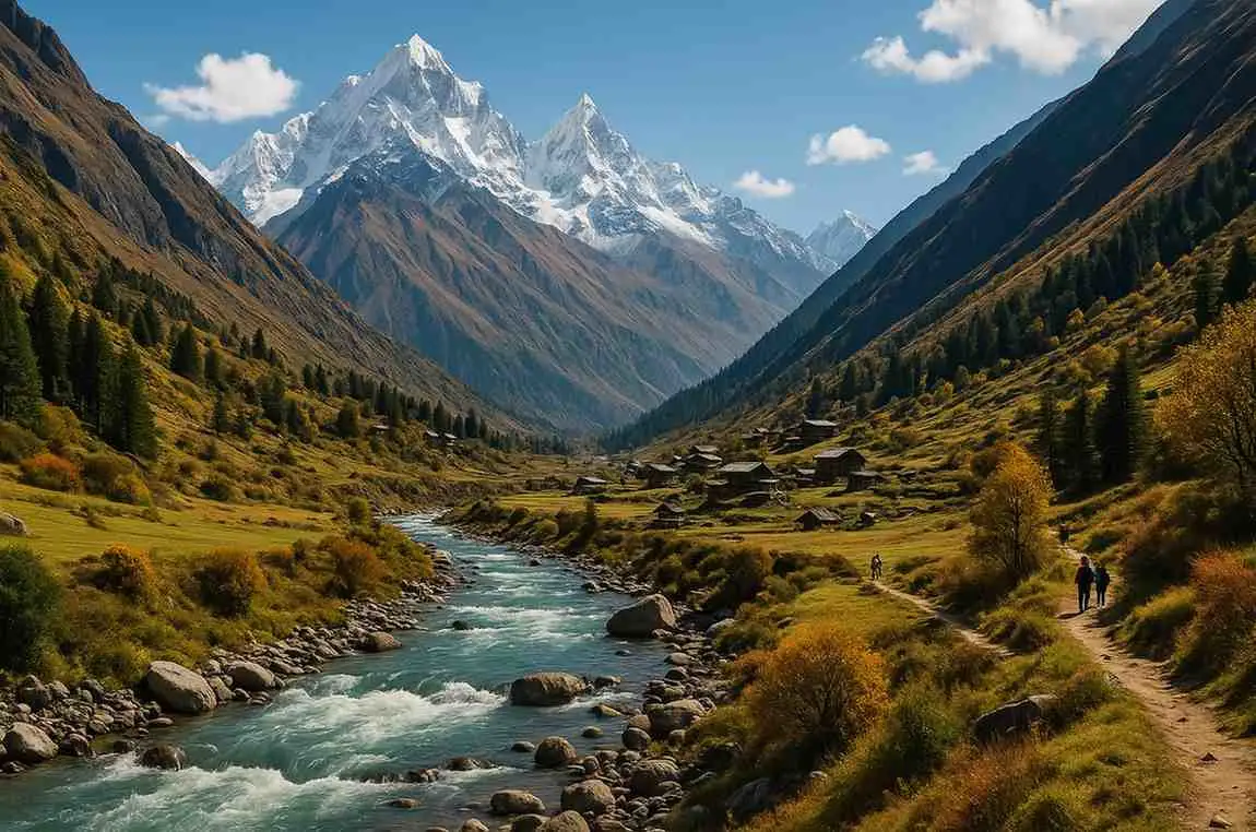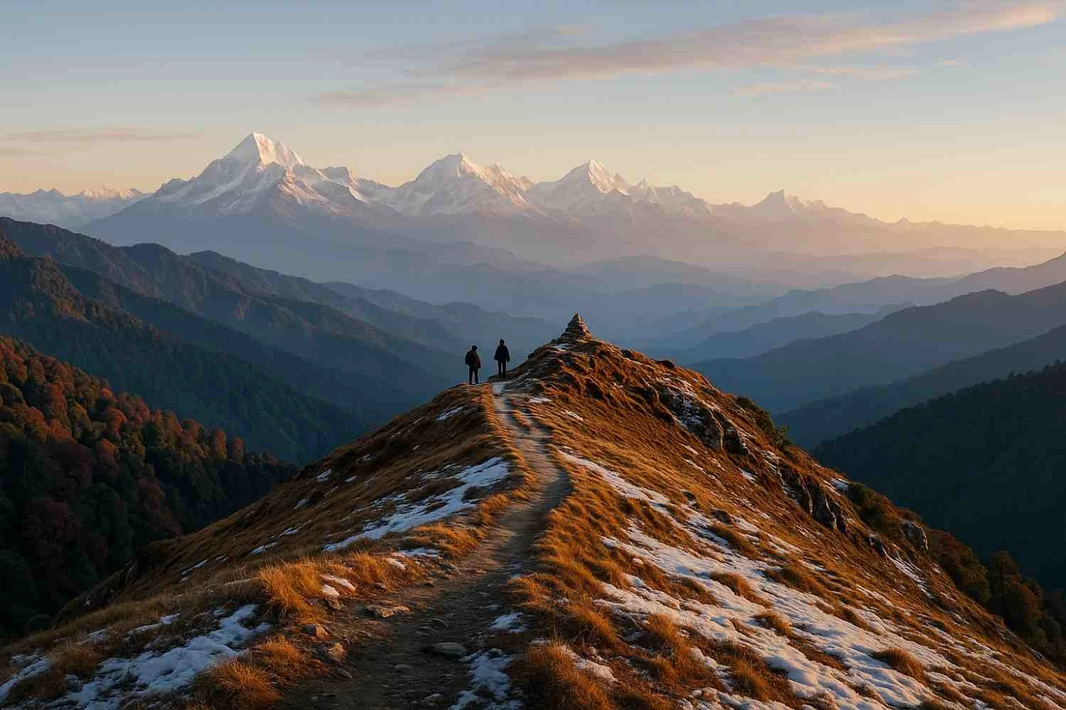
Hampta Pass Trek in Himachal Pradesh is a popular moderate-level Himalayan trek known for its dramatic landscapes, river crossings, and a high mountain pass at around 14,000 ft. The best time to trek is June–October, when you get a blend of snow patches (early season), lush meadows (monsoon), and crisp, clear skies (autumn). Starting from Jobra (near Manali) and dropping into the stark Lahaul valley before optionally visiting Chandratal, Hampta Pass is one of the most rewarding short treks for first-timers with decent fitness.
Hampta Pass Trek Key Facts (At a Glance)
| Key Detail | Information |
| Location | Kullu–Lahaul Region, Himachal Pradesh |
| Altitude | ~14,000 ft (~4,270 m) at Hampta Pass |
| Trek Duration | 4–5 days (with Chandratal optional) |
| Difficulty Level | Moderate |
| Best Time | June–October |
| Starting Point | Jobra (drive from Manali) |
| Ending Point | Chatru (roadhead) / Chandratal (optional extension) |
| Temperature Range | Day: 5°C to 18°C; Night: -3°C to 8°C (season-dependent) |
What is the Hampta Pass Trek?
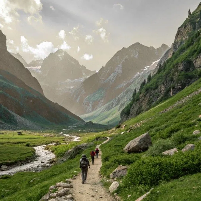
Hampta Pass is a crossover trek that links the green Kullu valley to the high, cold desert of Lahaul–Spiti. In just a few days, the scenery flips from pine and maple forests, waterfalls, and wildflower meadows to barren, moonlike landscapes, finally opening toward the surreal blue of Chandratal Lake if you add the optional road excursion. Its compact duration, reliable trail, and spectacular variety make it a favorite for trekkers taking their first step into high-altitude Himalayan trekking.
Why the Hampta Pass Trek is Famous
● Dramatic landscape shift from the lush Kullu valley to stark Lahaul in 4–5 days
● Waterfalls, meadows & river crossings that keep every stage exciting
● Chandratal Lake extension (by road from Chatru) for a grand finale
● Great for fit beginners—a moderate trek that teaches essential mountain skills
● Beautiful campsites like Chika and Balu Ka Ghera set in postcard-worthy settings
Hampta Pass Trek Route Overview
● Base & Approach: Reach Manali → drive ~1.5–2 hours to Jobra roadhead.
● Trek: Jobra → Chika → Balu Ka Ghera → Hampta Pass → Shea Goru → Chatru (roadhead in Lahaul).
● Optional Extension: From Chatru drive to Chandratal Lake (seasonal road access; typically June–Oct).
● Exit: Drive from Chatru or Chandratal toward Manali (via Atal Tunnel/Rohtang area, road conditions and permissions permitting) or onward to Kaza if you’re continuing your Spiti plans.
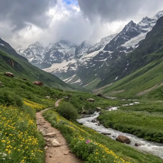
Expect 4 trekking days (5 if including Chandratal night halt), with varied terrain: forest trails, meadow walks, moraine and boulder zones, river crossings, and a steady climb to the pass followed by a descent on scree and snow patches (early season).
Day-by-Day Itinerary
Day 1 – Manali (2,000 m) → Drive to Jobra (~2,980 m) → Trek to Chika (~3,070 m)
● Drive: 1.5–2 hours from Manali to Jobra through hairpin bends and deodar forests.
● Trek: 3–5 km, 2–3 hours; gentle undulating trail.
● Highlights: Forest clearings, Rani Nallah streams, first views of meadows.
● Camp: Chika, a lovely riverside campsite.
● Altitude Gain: ~1,000 m by road, ~100 m by foot.
Pro tip: Keep your daypack light; use trekking poles during stream crossings.
Day 2 – Chika → Balu Ka Ghera (~3,740 m)
● Trek: 5–7 km, 4–5 hours; gradual ascent with sections over boulders/meadows.
● Highlights: Meadows carpeted with wildflowers (mid/late monsoon), views of snow-fed streams tumbling down rocky walls.
● Camp: Balu Ka Ghera (“bed of sand”), a sandy/alpine meadow basin.
● Altitude Gain: ~650–700 m.
Pro tip: Hydrate consistently and pace yourself; this is your acclimatization day.
Day 3 – Balu Ka Ghera → Hampta Pass (~4,270 m) → Shea Goru (~3,900 m)
● Trek: 7–9 km, 7–9 hours; the longest and most demanding day.
● Trail: Early start. Climb over boulder/moraine with possible snow patches (June–July). Final ascent to the Hampta Pass ridge, followed by a steep descent toward Shea Goru over loose scree/snow (microspikes sometimes useful in early season).
● Highlights: Jaw-dropping 360° views, the classic crossover moment where Kullu’s greenery gives way to Lahaul’s stark palette.
● Camp: Shea Goru, a cold, windy campsite on Lahaul’s side.
● Altitude Gain/Loss: +530 m to the pass, then -370 m to camp.
Pro tip: Layer up at the pass and keep gloves handy; winds can be sharp even in mid-season.
Day 4 – Shea Goru → Chatru (~3,300 m); Drive toward Manali or Chandratal
● Trek: 6–8 km, 4–5 hours; descend along the riverine valley, cross glacial streams.
● Finish: Reach Chatru (a small dhaba cluster/roadhead) on the Spiti–Manali route.
● Option: If weather and road are favorable, drive to Chandratal (about 2–3 hours from the Batal side; exact time varies with road conditions).
● Overnight: Either drive back to Manali (long day), or camp/guesthouse near Chatru/Batal or at Chandratal (if open).
Pro tip: If you’re keen on astrophotography, try to stay overnight near Chandratal (when camps are operational) for dazzling night skies.
Optional Day 5 – Chandratal Lake Excursion (4,250 m)
● Drive: From Chatru via Batal to Chandratal (road conditions vary; typically open June–Oct).
● Activity: Short stroll from parking to the lake; photography; quiet time by the turquoise water.
● Return: Drive back toward Manali (or continue to Kaza/Spiti).
Pro tip: Respect the lake’s sanctity—no littering, no camping right on the lakeshore, and avoid loud music.
Trek Difficulty Level
● Overall Difficulty: Moderate—ideal for fit beginners to intermediates.
● Fitness Recommended: Ability to walk 10–12 km a day with a daypack, and climb 400–700 m in elevation without distress. Basic cardio training (jogging/cycling/swimming 3–4x/week for 4–6 weeks) is highly recommended.
● Trail Conditions: A mix of well-trodden trails, bouldery moraine, snow patches (early season), and stream crossings. Trekking poles, waterproof mid-ankle shoes, and quick-dry socks help a lot.
Best Time to Do Hampta Pass Trek (Season-Wise)
● June–July (Early Season): Expect snow patches on the pass and approaches. Mornings are cold; evenings can be freezing at higher camps. Stunning snow contrasts, photogenic but more strenuous footing.
● August–September (Monsoon Window): Greenest landscapes with meadows in bloom and lively waterfalls. Trails can be slippery; stream levels may be higher—start early, cross before noon where possible.
● October (Post-Monsoon/Autumn): Clear skies, excellent visibility, colder nights. Minimal flowers but golden-brown meadows and crisp mountain views. Possibility of early snowfall late in the month.
Weather & Temperature
● Daytime: 5°C to 18°C, depending on month and cloud cover.
● Nighttime: -3°C to 8°C (colder at Balu Ka Ghera/Shea Goru; expect frost in Oct and sometimes in late June).
● Wind: The pass is often windy—carry a windproof shell and thermal gloves.
● Rain/Snow: Light to moderate rain is possible in July–Aug on the Kullu side; snowfall is possible early season/late season near the pass.
Altitude Profile & AMS (Acute Mountain Sickness) Tips
1. Approx Altitudes:
● Manali: ~2,000 m
● Jobra: ~2,980 m
● Chika: ~3,070 m
● Balu Ka Ghera: ~3,740 m
● Hampta Pass (highest): ~4,270 m
● Shea Goru: ~3,900 m
● Chatru: ~3,300 m
2. Daily Gain (typical):
● Day 1: Road to Jobra (+~980 m), trek +~100 m
●Day 2: +~650 m
● Day 3: +~530 m to pass, then -~370 m
● Day 4: -~600 m to Chatru
3. AMS Precautions:
● Hydrate well (3–4 liters/day, including soups/tea).
● Climb slowly and avoid racing, especially above 3,500 m.
● Eat hot, light, carb-rich meals to maintain energy.
● Layer properly to avoid chilling/sweating cycles.
● Report symptoms early: headache, nausea, unusual fatigue, dizziness, loss of appetite, or disturbed sleep.
● Medication: Carry doctor-advised AMS meds (e.g., acetazolamide) and basic first-aid. Do not self-medicate without prior guidance.
● Contingency: If symptoms worsen, descend—even a 300–500 m drop can help significantly.
How to Reach the Starting Point (Jobra / Manali)
1. By Road (most common):
○ Delhi/Chandigarh → Manali: Overnight Volvos or self-drive via NH 3 (time varies with traffic/road work).
○ From Manali, arrange a jeep/tempo to Jobra (1.5–2 hours). Most trek operators include this.
2. By Train:
○ Nearest broad-gauge options are Chandigarh or Pathankot. From there, continue by bus/taxi to Manali (8–12 hours depending on origin).
3. By Flight:
○ Kullu (Bhuntar) Airport is the closest. Limited flights and weather-related cancellations are common. Alternatively, fly to Chandigarh and drive/bus to Manali.
4. Local Transport Options:
○ Taxi/Shared Cabs from Manali to Jobra (often arranged by your trek provider).
○ Buses ply on the main highway but won’t take you directly to Jobra; you’ll still need a local cab.
Permits & Entry Requirements
● Forest/Environmental Permits: Required for trekking and camping; your trek operator usually obtains these. Independent trekkers must arrange permits through local forest authorities or via registered agencies.
● ID Requirements: Carry government-issued photo ID (Aadhaar/Passport/Driving License). Foreign nationals should carry passport and visa copies.
● Checkposts: Be ready to show permits/IDs at forest checkposts or roadside controls.
Cost of Hampta Pass Trek (Indicative)
● Package Range (ex-Manali): ₹9,000 – ₹16,000 per person for a standard 4–5 day itinerary (group departures).
● Inclusions typically: Camping on twin/triple sharing, meals on trek, tents & sleeping bags, guides/support staff, permits, basic first-aid, transport Manali–Jobra & Chatru–Manali (varies by operator).
● Exclusions often: Personal gear rentals, meals in Manali, porterage, medical/evac insurance, 5%GST, Chandratal detour costs if not included.
Tip: Always ask for inclusion/exclusion lists, maximum group size, guide-to-trekker ratio, and emergency protocols before booking.
What to Pack (Checklist)
1. Documents & Money
● Govt photo ID (original + photocopy), permits (if DIY)
● Cash (ATMs may not work en route), insurance details (if any)
2. Clothing (layering is key)
● Base layers: 2–3 quick-dry tees, 1–2 thermal tops/bottoms
● Mid layer: 1 fleece / light down jacket
● Shell: Waterproof windproof jacket with hood + rain pants or poncho
● Trekking pants: 2 pairs quick-dry (avoid jeans)
● Innerwear & socks: 3–4 moisture-wicking socks + 1 wool pair for nights
● Accessories: Warm cap, sun cap, neck gaiter, waterproof gloves
3. Footwear
● Trekking shoes (mid-ankle, good grip, waterproof
● Camp sandals/crocs for stream crossings and campsite comfort
4. Gear
● Backpack 40–50L with rain cover
● Daypack 15–20L (if porter/mule carrying your main pack)
● Trekking poles (pair)
● Headlamp with spare batteries
● Sunglasses (UV), sunscreen SPF 50+, lip balm SPF
● Water bottles/hydration bladder (2–3 L total)
● Quick-dry towel, toiletries, toilet paper/waste bags
5. Health & Safety
● Personal first-aid kit (band-aids, crepe bandage, blister kit, ORS)
● Doctor-advised meds (AMS prophylaxis, pain relief, antihistamine, antacid, antiemetic)
● Hand sanitizer, wet wipes, mask (for dust/wind)
6. Optional/Seasonal
● Microspikes/gaiters (early season snow)
● Power bank, camera, rainproof phone pouch
● Energy bars/dry fruits/electrolyte sachets
Tips for Hampta Pass Trekkers
● Stay hydrated—sip regularly; don’t chug.
● Dress in layers—adjust quickly to changing weather.
● Don’t rush on ascents—steady pace beats sprinting.
● Follow the guide’s instructions—especially during river crossings and on snow/scree.
● Start early—afternoons can bring clouds or showers.
● Pack light—every unnecessary kilo feels like three at altitude.
● Leave no trace—carry trash back, avoid soaps in streams, respect wildlife.
Places to Visit Near Hampta Pass
● Manali: Old Manali cafés, Hadimba Temple, Vashisht hot springs.
● Solang Valley: Paragliding, ATV rides, cable car (seasonal).
● Atal Tunnel(Rohtang): An Engineering marvel linking Lahaul with dramatically different views.
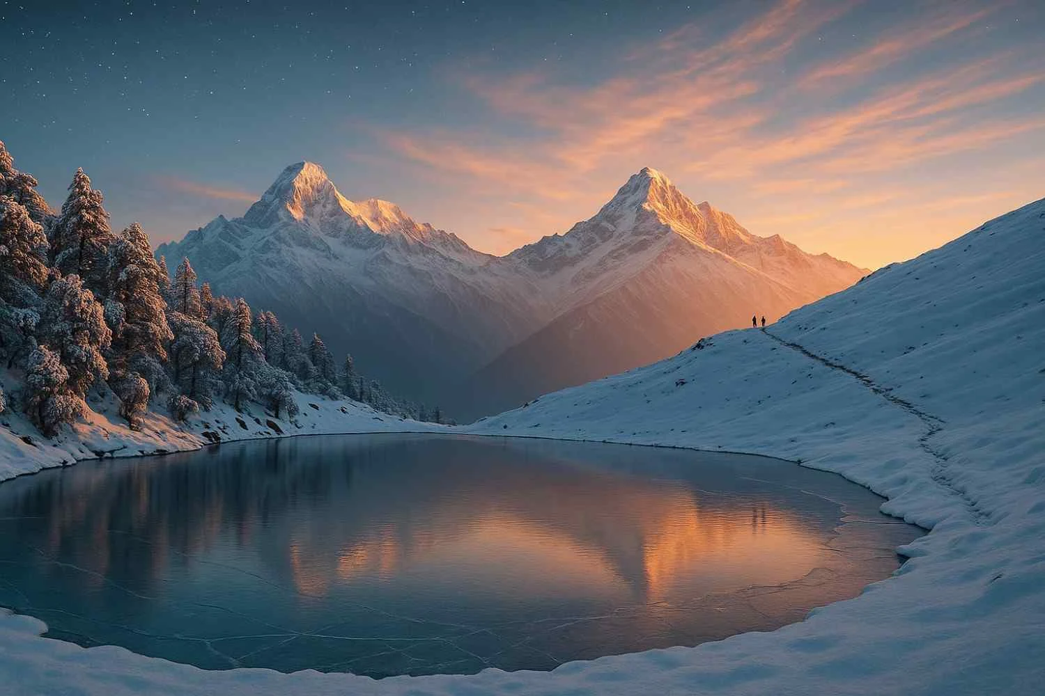
● Chandratal Lake: High-altitude crescent-shaped lake; best visited June–Oct when camps operate.
● Rohtang region: Iconic high pass area (permits/road status apply).
FAQs: Hampta Pass Trek
It’s a dramatic crossover from the green Kullu valley to the stark Lahaul landscapes in just a few days, combined with river crossings, alpine meadows, and the option to add Chandratal Lake.
It lies on the eastern Pir Panjal range, connecting Kullu (Jobra side) with Lahaul (Chatru side).
Moderate. Suitable for fit beginners who train for a few weeks. Expect long walking hours on Day 3 and a steep descent from the pass.
June–October. Early season (June–July) brings snow patches, monsoon months (Aug–Sept) are greenest, and October has clear skies but colder nights.
Typically 4 days of trekking; add 1 extra day for Chandratal.
Around 22–28 km spread over 4 trekking days (varies by exact campsite locations).
Travel to Manali (by bus/car/flight-to-Bhuntar), then drive to Jobra (1.5–2 hours). Most operators include this transfer.
Approximately 4,270 m (about 14,000 ft).
Yes, with proper fitness, qualified guides, and correct gear. Always respect altitude and weather.
Yes, forest/environmental permits are required. Trek operators usually arrange them; carry a photo ID.
Jobra, reached by road from Manali.
Days 5–18°C, nights -3–8°C depending on the month and camp altitude.
Layered clothing, waterproof shell, warm gloves/cap, sturdy trekking shoes, poles, headlamp, 2–3 L water capacity, personal meds, and basic first aid. (See checklist above.)
It’s an optional detour by road from Chatru/Batal (June–Oct typically). Highly recommended if time and weather permit.
Yes, at designated campsites like Chika, Balu Ka Ghera, and Shea Goru. Follow Leave No Trace practices.
Group packages usually cost ₹9,000–₹16,000 per person ex-Manali for 4–5 days, depending on inclusions and season.
No for standard itineraries. Heavy snow blocks the pass. Winter treks typically use lower-altitude routes; Hampta is mainly June–Oct.
Experienced solo trekkers can, but the pass crossing, river timings, and weather windows make guided groups safer for most people.
Expect patchy to no network after Jobra. BSNL/Jio sometimes catch a flicker near roadheads. Treat the trek as mostly no-network.
A rest day in Manali helps. The itinerary itself acclimatizes gradually, but fitness and hydration are key.
Forest trails, alpine meadows, boulder/moraine, snow patches (early season), scree descent, and stream crossings.
For teenagers with good fitness and prior day-hike experience, yes (with parental responsibility). Avoid for very young kids due to altitude and terrain.
Anyone with strong basic fitness, good rain protection, and a willingness to trek on slippery trails. Start early for safer stream crossings.
Not legally mandatory for all, but strongly recommended. Guides know safe river timings, best crossing points, weather calls, and emergency procedures.
Hampta is moderate and typically a notch more challenging than Bhrigu Lake due to the pass crossing and longer Day 3. Compared to Beas Kund, the difficulty is similar, but Hampta adds the crossover descent to Lahaul and more varied terrain.